· 3 min read
Callosa de Segura in 1 m cubes
After Alicante, the city where I was born. This time with LiDAR, so every roof, every tree and the sierra have their real height.
A few days ago I rebuilt Alicante in 1 m cubes. Now it's Callosa de Segura, the city where I was born, and you can explore it in your browser too: raulbr99.github.io/callosa-voxels. It works best on a computer. The whole flight, from the huerta up to the Pico del Águila, is on video on X.
What changed since Alicante
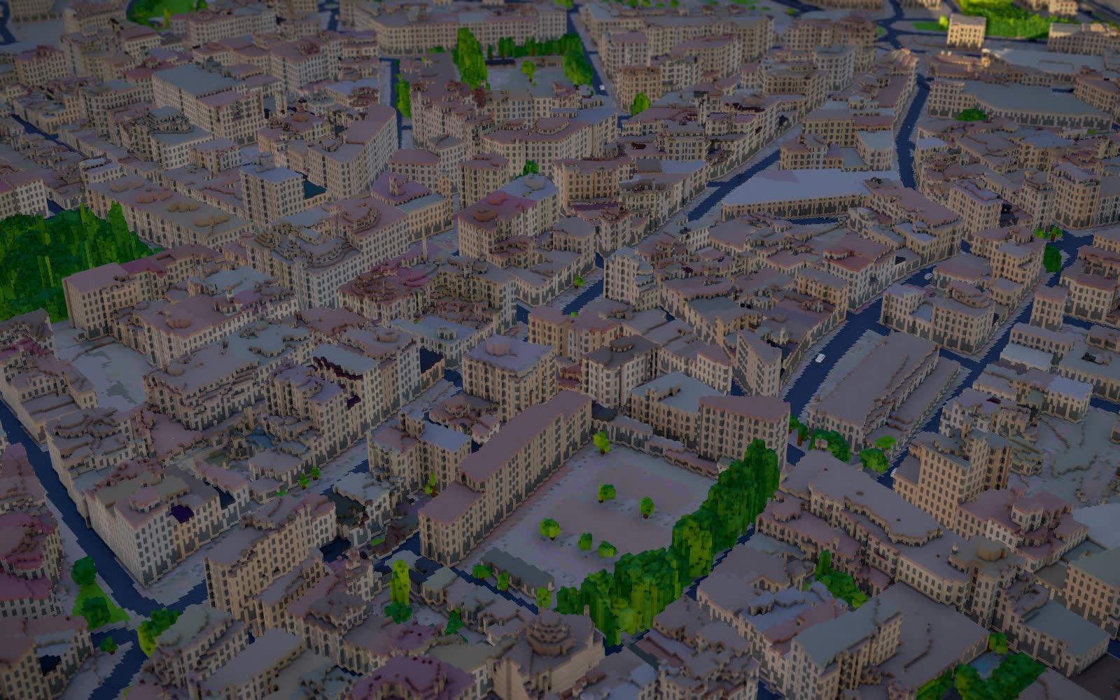
In Alicante the roofs came out flat: there was no LiDAR, so there was no way to know the shape of each roof. Callosa has it. LiDAR is a laser scan from a plane, and here it's 26 million points. Each half-metre cell keeps the highest point, so the roofs, the trees and the cliffs of the sierra have their real height.
Where each cube comes from
It's all open data, with no API keys and no cost:
- The terrain, the roofs and the trees come from the PNOA LiDAR (IGN/CNIG), flown in 2023-2024. One corner in the north-west has no points, and there the terrain comes from IGN's MDT05, at 5 metres.
- What is green and what isn't comes from the 2024 orthophoto of the Valencian Cartographic Institute (ICV), at 25 cm. It has an infrared band, and plants glow in infrared: that decides which cells get painted green.
- The buildings come from the Catastro. OpenStreetMap had less than a quarter of them (1,674 of 7,589 building parts), so I added the rest from the Catastro.
- The streets come from OpenStreetMap.
The engine is the same one I used for Alicante: Warsaw in voxels, by Piotr Migdał, under the MIT licence. I built it with Claude Code in one evening.
What I had to do by hand
- The castle. No dataset gets the ruins right, so I drew them in code from photos: 594 stone cubes. Their size is an estimate, not a survey.
- The facades are single-colour boxes. I didn't work on them.
What you can do on the page
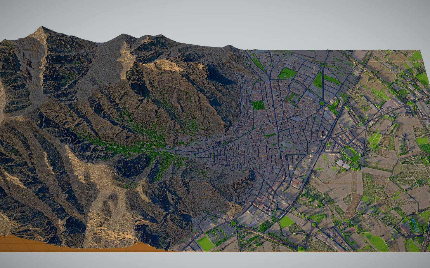
- Fly over the town, the castle and the sierra with the keyboard, like in a video game.
- Change the day, the hour and the weather. The shadows move with the sun.
- Search for a place by name, like the church of San Martín, the sanctuary of San Roque or the Pico del Águila.
Credits
- Engine: Warsaw in voxels, by Piotr Migdał (MIT).
- Data: © IGN/CNIG (PNOA-LiDAR and MDT05), Institut Cartogràfic Valencià (2024 orthophoto, CC BY 4.0), Dirección General del Catastro and © OpenStreetMap contributors (ODbL). Climate data from Open-Meteo.